Woodstock Museum: Interactive Map
Client Museum at Bethel Woods
Studio Second Story
Designer Christian Bannister
Motion Designer Alphonse Swinehart
Technology Director Thomas Wester
Developers Zach Archer, John Hutchison
Producer Dave Stawinski
Production Assistants Shane Farrell, Melinda Swenson
Quality Assurance Erica Dillon
Research History Associates, Diamond Time
Sound Design Audio Wells
Writers History Associates
Narrator Dennis Elsas
A/V Integration McCann Systems
Exhibit Design Gallagher & Associates
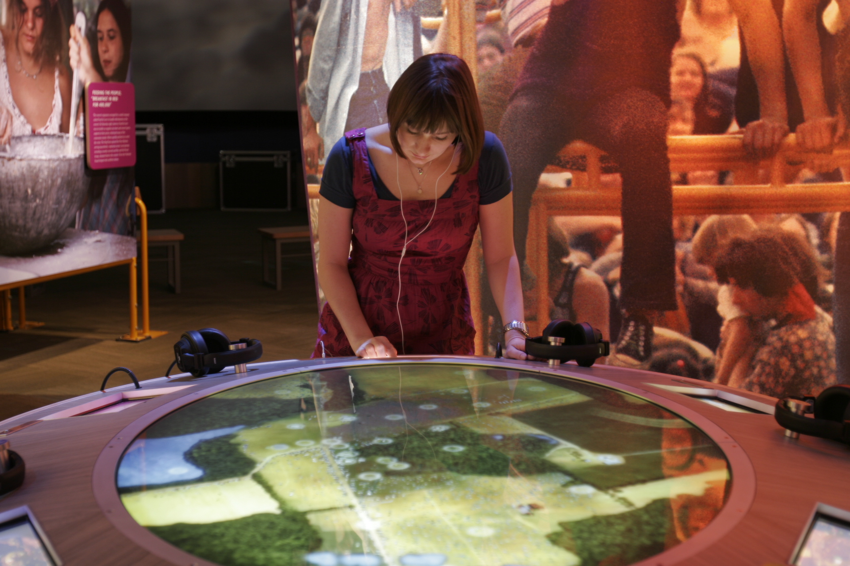
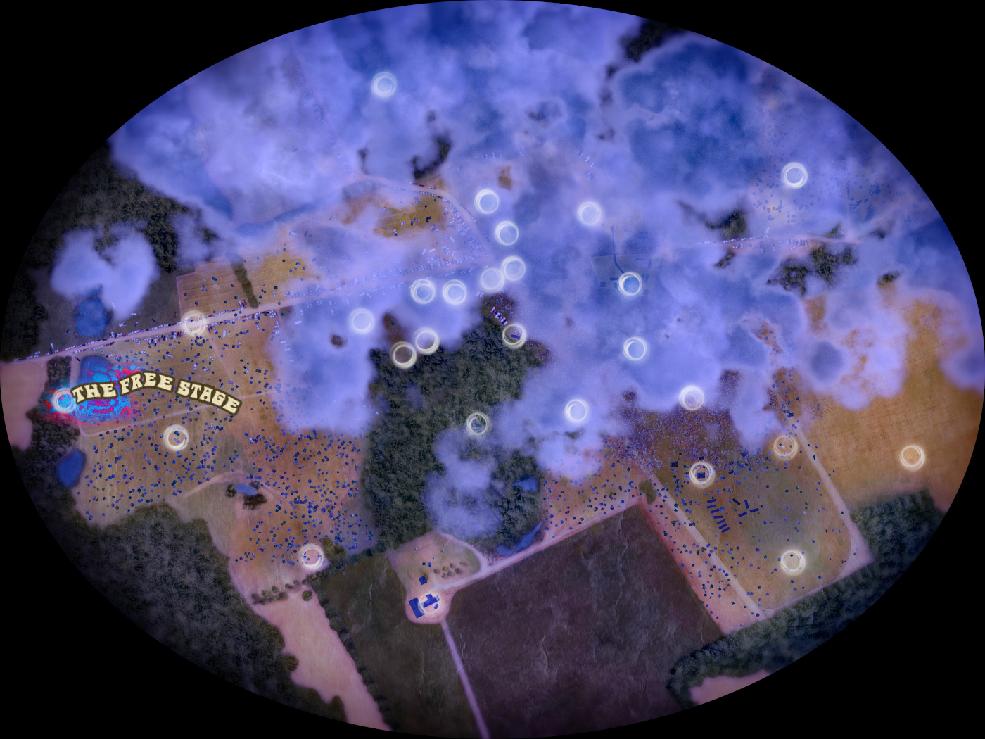
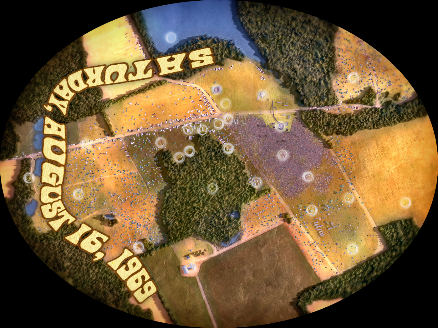
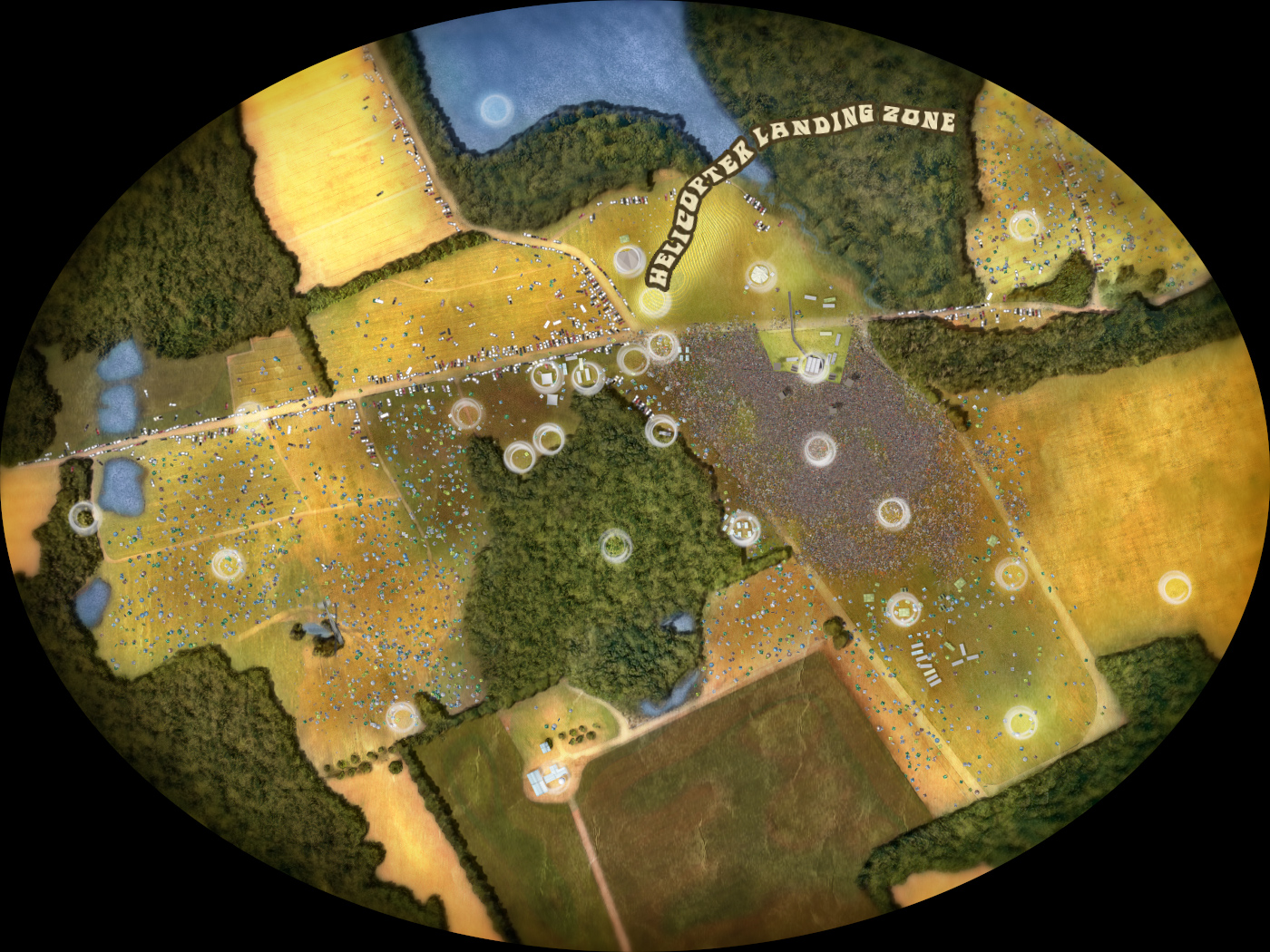
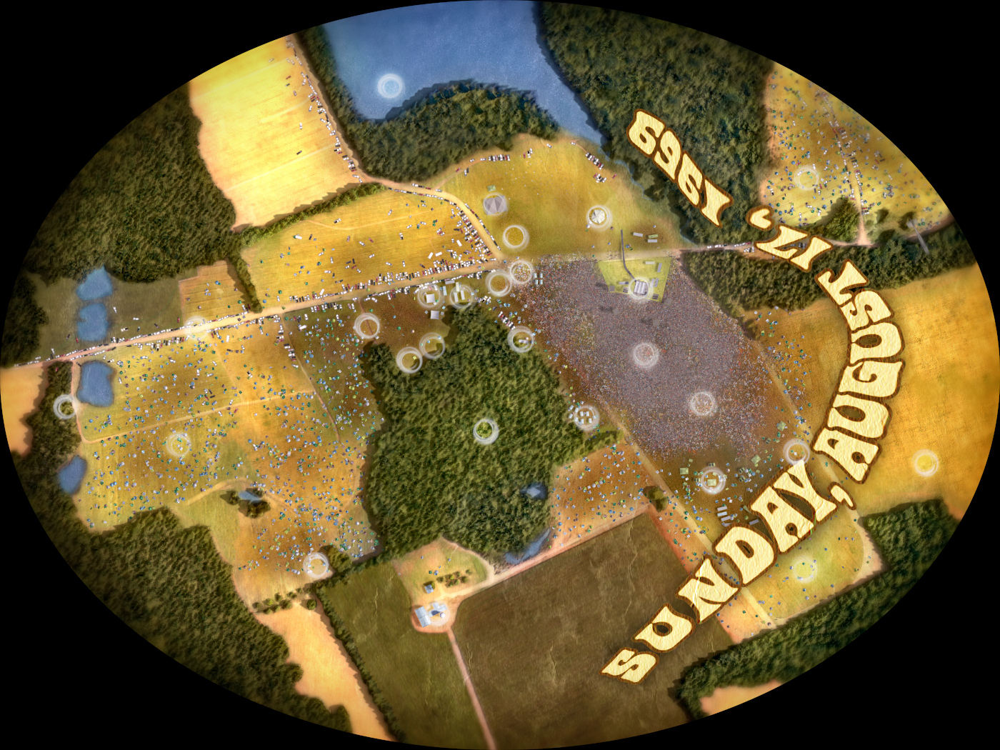
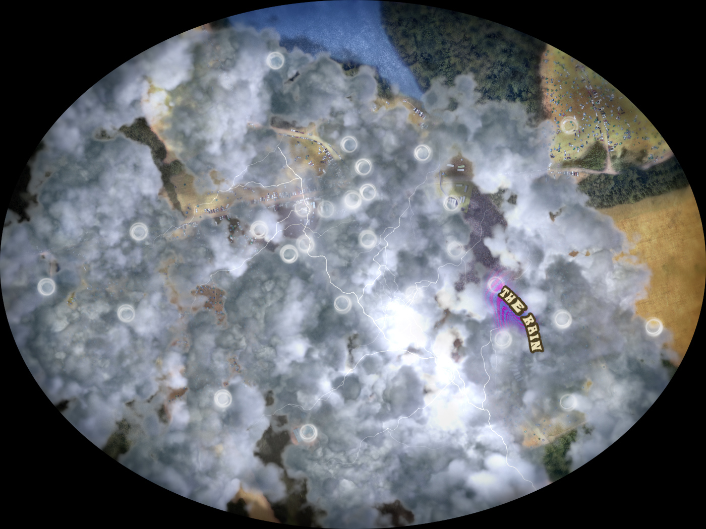
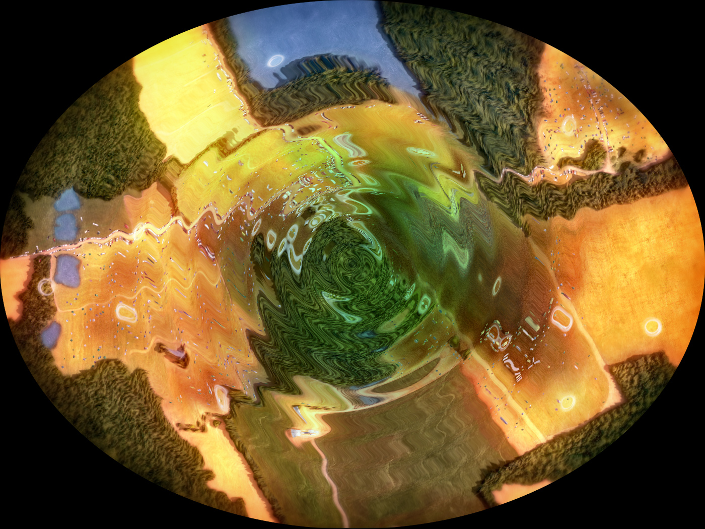
This animation was created for the Museum at Bethel Woods, informally known as the Woodstock Museum. The client wanted an interactive map of the festival grounds, and we thought that a time-lapse would offer the best visual and informative approach for the viewer, highlighting the fluctuations and evolution in traffic, crowds, and weather. After weeks of studying photos, videos, interviews, and current satellite imagery of the grounds, we designed a map of the area containing all the specific hot-spots the client wanted to cover, as well as certain elements of the 1969 landscape that no longer exist today, at a view from an estimated 10,000ft.
